Page 1 of 10
GWSDAT v3.2 now released!
Click here for a list of important updates.
What is GWSDAT?
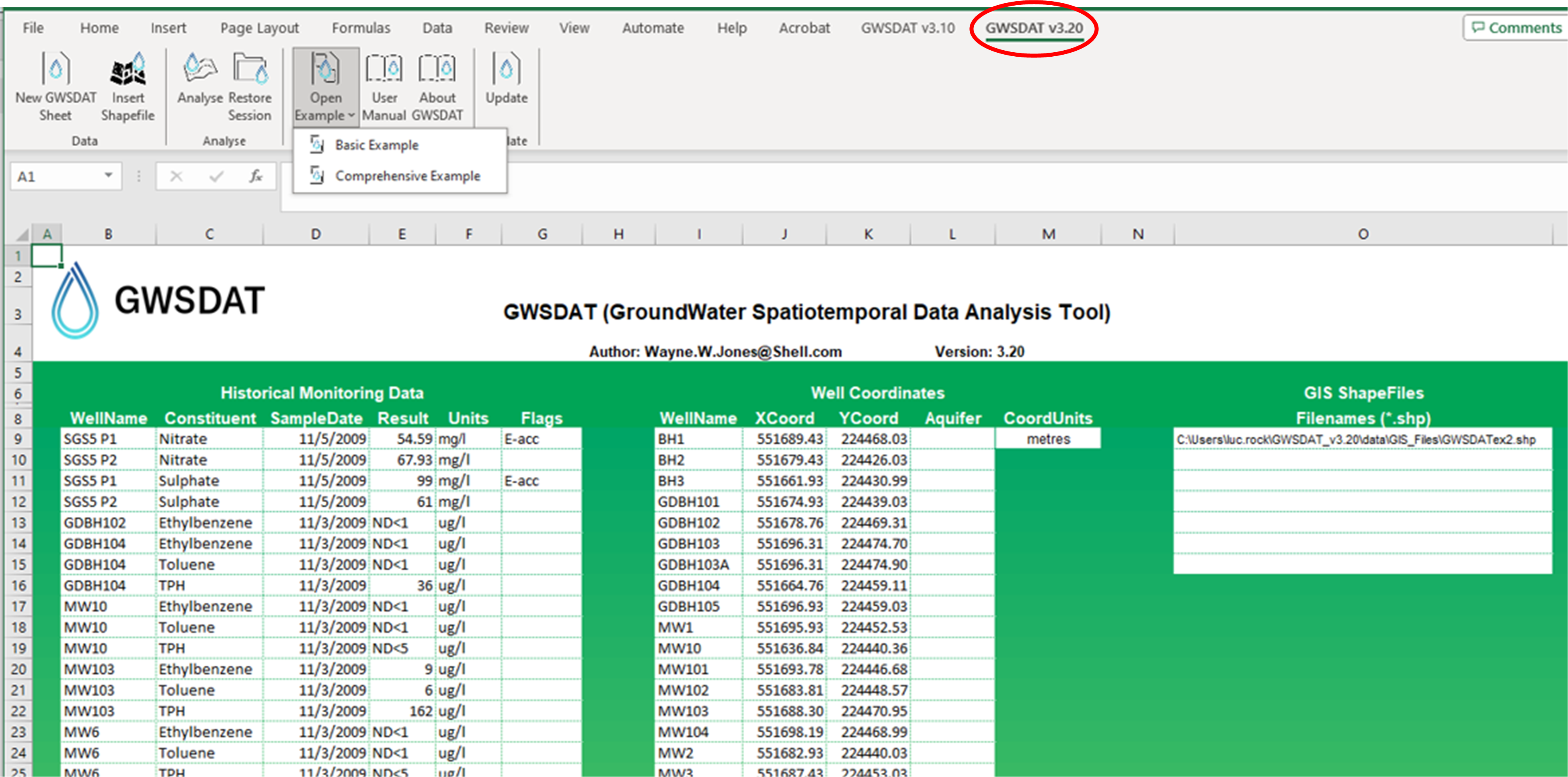
GWSDAT is an open source, user-friendly, software application for the visualisation and interpretation of groundwater monitoring data. It also enables to work with other types of monitoring data collected over time and space (e.g. soil gas concentrations).
Key functionalities of tool:
- Trend analyses
- Data smoothing
- Spatiotemporal smoothing
- Determination of contamination plume characteristics
- Well redundancy analysis
- Automatic report generation tools based on user input.
Business Benefits
GWSDAT, through improved risk-based decision making and response, adds value in several different ways:
- Early identification of increasing trends or off-site migration.
- Evaluation of groundwater monitoring trends over time and space (i.e., holistic plume evaluation).
- Nonparametric statistical and uncertainty analyses to assess highly variable groundwater data.
- Reduction in the number of sites in long-term monitoring or active remediation through simple, visual demonstrations of groundwater data and trends.
- More efficient evaluation and reporting of groundwater monitoring trends via simple, standardised plots and tables created at the ‘click of a mouse.’
- Well Redundancy Analysis functionality to identify potential optimization measures with regards to monitoring well network sampling locations.