Page 5 of 13
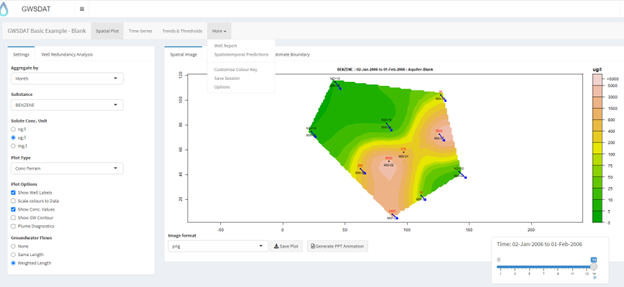
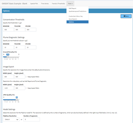
The GWSDAT graphical user interface (GUI) allows the user to navigate through a groundwater dataset and explore concentration/ groundwater elevation trends in individual wells and across the site. Several options are available to customize the display and data analysis. Note that plots can also be automatically exported.